Home :: Just Tassie Books :: TASMAP Frenchmans Cap walk map and notes

TASMAP Frenchmans Cap walk map and notes

TASMAP Frenchmans Cap  walk map and notes
 
(0 reviews)  

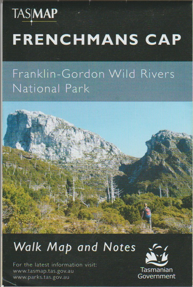
A map of the walk to the magnificent quartzite dome of Frenchmans Cap (1443m) in the Franklin-Gordon Wild Rivers National Park, a mecca for bushwalkers and climbers.

The panoramic view from the peak on a clear day includes Mt Ossa, features of the southern end of Cradle Mountain - Lake St Clair National Park and Macquarie Harbour to the west.

Fold-out map
Scale 1:50 000
Published 2018
SKU SKU19145
Quantity in stock 1 item(s) available
Weight 0.15 kg
Author Tasmap
ISBN 9318923008296
 
Our price: AUD 7.95
including GST 10.00 % ( AUD 0.72 )
Click here to be notified of price drops of this item
 
Quantity (1 available)
Growing with Strength - History of Hobart City Council 1846-2000 Island Stint In Search for Justice - True police stories from around Tasmania
AUD 69.95
AUD 19.95
AUD 19.99
 
The Legends of Hunter Island Tarkine Takes Off! Western Tasmania - A Land of Riches & Beauty
AUD 19.95
AUD 21.99
AUD 10.00
 
Guess Who's Coming to Dinner... Sea Fury, Firefly and Sea Venom in Australian Service Port Arthur Pottery
AUD 34.95
AUD 35.00
AUD 19.50
There have been no reviews