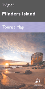
TASMAP Flinders Island Tourist Map

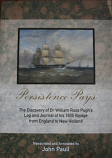
| Trumble & Ludwig's Forest Adventure | Persistence Pays - Dr William Russ Pugh's log and journal | Good people always crackney in heaven - mythic conversations in lutruwita / Tasmania |
|
AUD 14.95
|
AUD 39.95
|
AUD 35.00
|
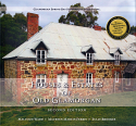
| Looking at Landscape Through the Lens of the Glover Prize | TASMAP South Coast Walks map and notes | Houses & Estates of Old Glamorgan |
|
AUD 22.50
|
AUD 13.95
|
AUD 59.95
|
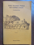
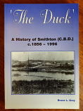
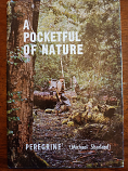
| The Manse Folk of Kirklands | The Duck - Smithton | A Pocketful of Nature |
|
AUD 18.50
|
AUD 72.50
|
AUD 24.95
|
There have been no reviews
Phone:: 03 6381 1545
International: 0011 613 6381 1545


