Home :: Just Tassie Books :: TASMAP Lake St Clair Day Walks map and notes

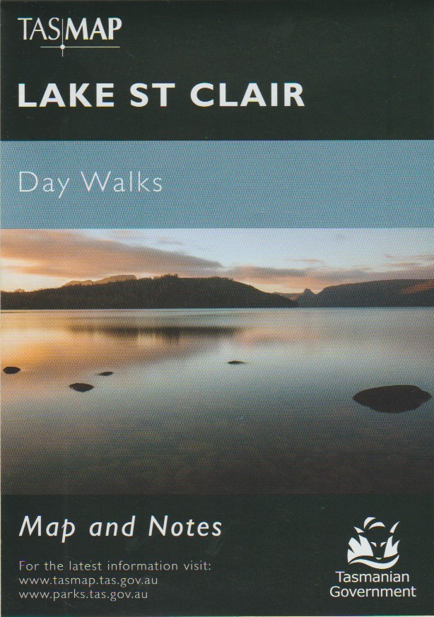
TASMAP Lake St Clair Day Walks map and notes

TASMAP Lake St Clair Day Walks map and notes
 
(0 reviews)  

Cradle Mountain-Lake St Clair National Park encompasses a wide range of rugged mountain scenery, glacial tarns, forest and alpine moorlands. At 167m Lake St Clair is the deepest lake in Australia.

This map highlights Lake St Clair's walking tracks and features tourist information along with general topographic detail. The notes on the reverse side of the map contain information on the walking tracks around the lake and nearby mountains, bushwalking tips and safety essentials.

Fold-out map
Published 2016
Scale 1:50 000
SKU SKU19149
Quantity in stock 2 item(s) available
Weight 0.15 kg
Author Tasmap
ISBN 9318923008128
 
Our price: AUD 7.95
including GST 10.00 % ( AUD 0.72 )
Click here to be notified of price drops of this item
 
Quantity (2 available)
Vanishing Towns - Hardcover Edition Tin Mountain - European & Chinese history of The Blue Tier, Poimena & Weldborough The Orchardist's Daughter - used
AUD 55.00
AUD 85.00
AUD 14.50
 
American Citizens, British Slaves - Yankee political prisoners in an Australian Penal Colony The Dirty Chef - From big city food critic to gourmet farmer Convict-era Port Arthur
AUD 39.99
AUD 24.99
AUD 34.99
 
Wynyard - a pictorial history The Oyster Coves First at War, The
AUD 65.00
AUD 85.00
AUD 100.00
There have been no reviews