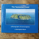
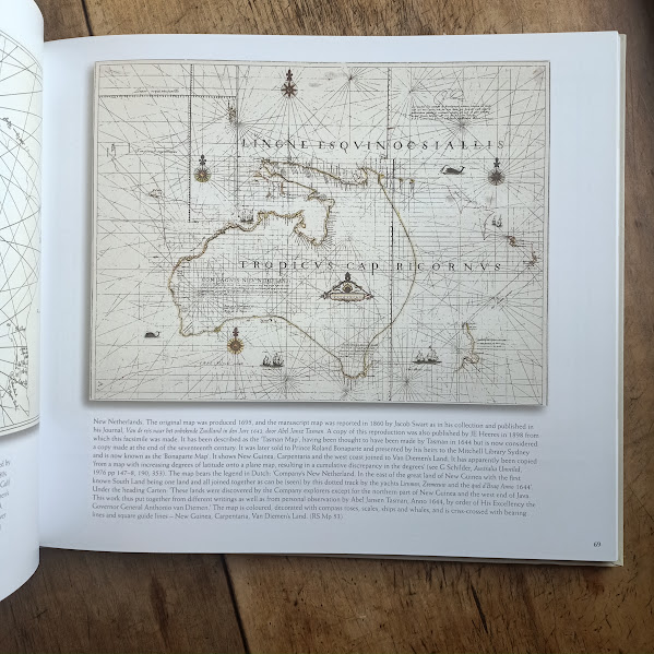
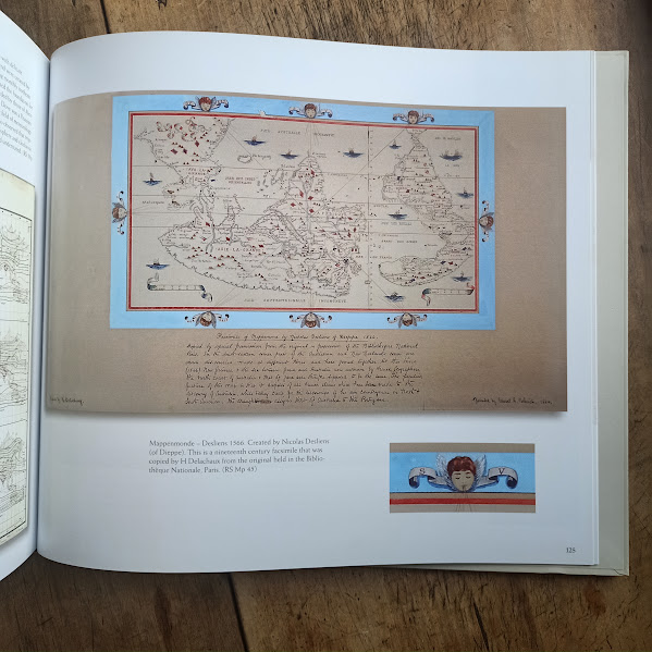
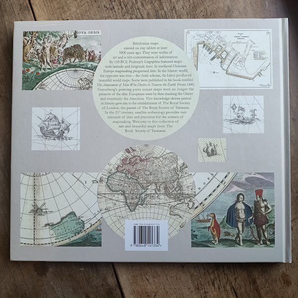
A collection of rare and significant maps from the Royal Society of Tasmania's collection — many of them little seen by the public — published to showcase the breadth and historical significance of the Society's cartographic holdings.
The maps principally cover Van Diemen's Land from the earliest days of European contact and settlement, but the collection extends to areas "beyond" — other parts of the world held by the Royal Society of Tasmania that give context to how early European cartographers understood the Pacific and southern hemisphere.
At 138 indexed pages with colour illustrations throughout, this is a large-format volume suitable for anyone interested in the history of cartography, the exploration of Tasmania and the southern seas, or the holdings of one of Tasmania's oldest learned societies. Out of print since publication.
BOOK DETAILS
- Hardcover.
- 138 pages, indexed.
- Colour illustrations throughout.
- Published 2018 by the Royal Society of Tasmania. Out of print.
CONDITION
Used, generally very good condition.
DELIVERY & IN-STORE PICKUP
- Combined Shipping: Sourcing multiple titles for your Tasmanian history library? The Book Cellar offers combined flat-rate parcel delivery across Australia. Secure your books using our online checkout, or phone the bookshop directly on 03 6381 1545 to coordinate multi-volume shipping.
- Free Instore Pickup: Located in Tasmania or travelling the Midland Highway? Select "Instore Pickup" at checkout to pay no postage and collect your items directly from the counter at The Book Cellar, underneath Foxhunters Return in Campbell Town.
|

![Mapping Van Diemen's Land and the Great Beyond | Royal Society of Tasmania | [USED – HC – Very Good]](https://onlinestore.bookcellar.com.au/images/P/Mapping-VDL.jpg "Mapping Van Diemen's Land and the Great Beyond | Royal Society of Tasmania | [USED – HC – Very Good]")
![The French Reconnaissance – Baudin in Australia 1801–1803 | Frank Horner | 1987 [USED – HCDJ – Out of Print]](https://onlinestore.bookcellar.com.au/images/T/french-reconnaissance-Q3P06p.png "The French Reconnaissance – Baudin in Australia 1801–1803 | Frank Horner | 1987 [USED – HCDJ – Out of Print]")

![Two Voyages to the South Seas – Astrolabe 1826–1829 & Zélée 1837–1840 | Jules Dumont d'Urville | 1987 | Signed by Translator [USED – HCDJ – Slipcase – Very Good]](https://onlinestore.bookcellar.com.au/images/T/dumon-durville-R0ivpl.png "Two Voyages to the South Seas – Astrolabe 1826–1829 & Zélée 1837–1840 | Jules Dumont d'Urville | 1987 | Signed by Translator [USED – HCDJ – Slipcase – Very Good]")