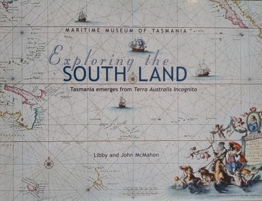
A celebration of the map maker's art - commencing with the 1606 voyage of Captain Willem Janszoon, the first European to chart part of the unknown southern continent.
This book documents, by means of an historical sequence of maps, the emergence of knowledge over 400 years from the time that navigators began probing south in search of Terra Australis Incognita until the modern outlines of Australia and Tasmania were determined.
Softcover book
68-pages
Dimensions: 30cm wide x 23cm tall
Colour illustrations |


